City seeks input on Irving Park Road safety and development
Planners aim to reduce crashes and improve walkability along a 6.2-mile stretch of the state highway before drafting a final report for 2027.
By Amanda Delgado ·
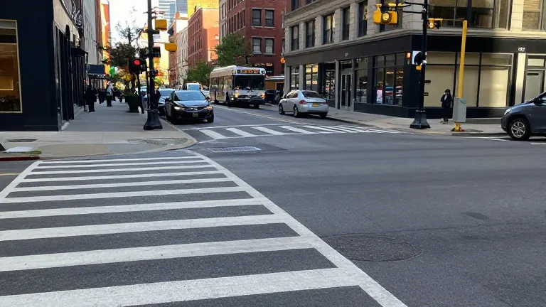
The Chicago Department of Planning and Development is collecting public feedback to guide development along a 6.2-mile section of Irving Park Road. The corridor stretches from California Avenue in the east to Overhill Avenue in the west and serves as a primary route for Chicago's North Side. City officials are reviewing the area's conditions after recording 3,633 crashes between 2020 and 2024.
Planners held an open house at the Independence Park fieldhouse on Wednesday to present their findings. The department has spent the past year analyzing existing conditions and gathering resident input. They have identified five specific zones for potential investment: California Avenue, Elston Avenue, the Pulaski Road transit hub, the area around Portage Park, and the neighborhood near Wilbur Wright College and Taft Freshman Academy.
Resident Brendan Ploen, who lives in Old Irving Park, described the street as a four-lane highway that makes crossing difficult. He noted that while he values the proximity to the Blue Line and Metra stations, the trip to a nearby laundromat often feels hazardous. Nate Bross and Kenzie Finnegan, who live in the West Walker neighborhood, cross the road daily to walk their daughter to school. They reported that vehicles frequently speed past pedestrians without stopping.
Carmen Martinez, the supervising planner for the northwest region, stated that most feedback centers on pedestrian safety and commercial vacancies. Nina Grenke-Kosinski, the business liaison for the Portage Park Chamber of Commerce, identified neglectful building owners as a major issue. She said some property holders fail to seek tenants or maintain their buildings, which hampers the local economy.
The department proposes several improvements for the entire corridor. These measures include installing more bike parking and Divvy stations at transit hubs. The plan also calls for curb extensions at crosswalks, raised crossings, and refuge islands for pedestrians. Officials aim to create in-lane bus stops using curb bump-outs to improve transit efficiency.
Martinez explained that the study will serve as a roadmap for future zoning choices. It will help alderpeople evaluate development proposals and assist local groups in applying for grant funding. The department will share the study with the Chicago Department of Transportation and the Illinois Department of Transportation, as the road is a state highway.
The department will continue gathering feedback through the fall. A draft report is scheduled for release online by the end of the year. That document will be presented to the city's Plan Commission for adoption in the first part of 2027.
Bross noted that small businesses along the road have increased in recent years. He suggested that a more pedestrian-friendly environment would likely attract more foot traffic to those shops. Ploen expressed hope that the study would address the long-standing issues neighbors face daily.
Source: Block Club Chicago