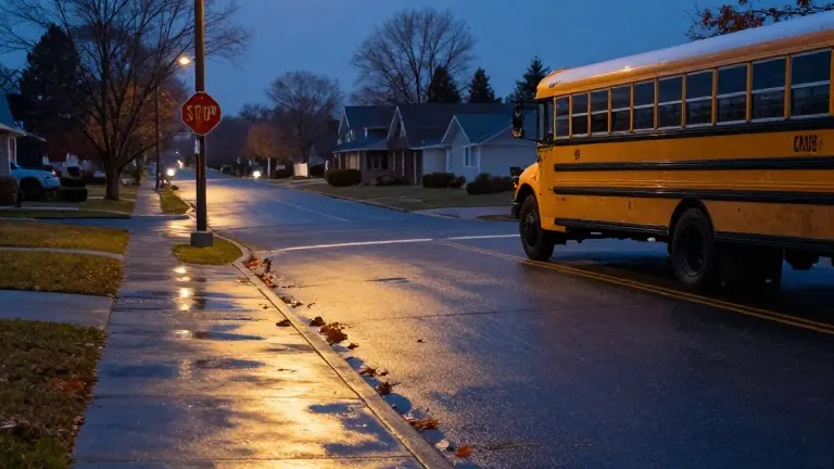
Louisville Halloween Weather Stays Dry, Showers Arrive Sunday
Residents in the southwest counties face the highest risk of precipitation this weekend, while Wednesday brings a stronger cold front.
By Amanda Delgado ·
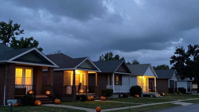
Children and adults in the Louisville area can expect dry conditions while trick-or-treating this Saturday evening. Forecasters at WDRB and WAVE indicate that the sky will remain cloud-free enough to keep rain at bay during the peak hours of Halloween. Temperatures will reach the lower 70s during the day, offering a mild environment for outdoor activities despite the thickening cloud cover.
The dry spell will not last. Shower probabilities rise late Saturday night and continue through Sunday. The forecast identifies the southwest counties as the zone with the highest likelihood of precipitation. While the rest of the metro area may see lighter rain, residents in those specific western regions should plan for wetter conditions on the afternoon and evening of the 1st of November.
A more intense weather system approaches later in the week. A solid cold front is scheduled to move across the region on Wednesday. This front will bring the highest chance of rain and thunderstorms within the current seven-day outlook. Until then, clouds will persist, keeping temperatures cooler than typical for late October. Overnight lows on Saturday are expected to hover in the mid 50s.
The meteorological pattern involves an increase in high clouds leading into the weekend. While the sky may appear overcast, the actual precipitation remains minimal until the system fully arrives Sunday. Forecasters note that the weather window for dry Halloween is narrow, requiring residents to monitor conditions closely as the weekend progresses.
Source: WDRB